Dense fog advisory
Updated
A Dense Fog Advisory is issued by the National Weather Service when widespread fog lowers visibility to 1/4 mile or less, making travel difficult. It is the highest fog alert the NWS issues; there is no separate dense fog warning.
Right now10Dense fog advisories in effectas of Every term in the storm glossary
WeatherTotals issues no alerts or warnings. Official warnings: weather.gov.
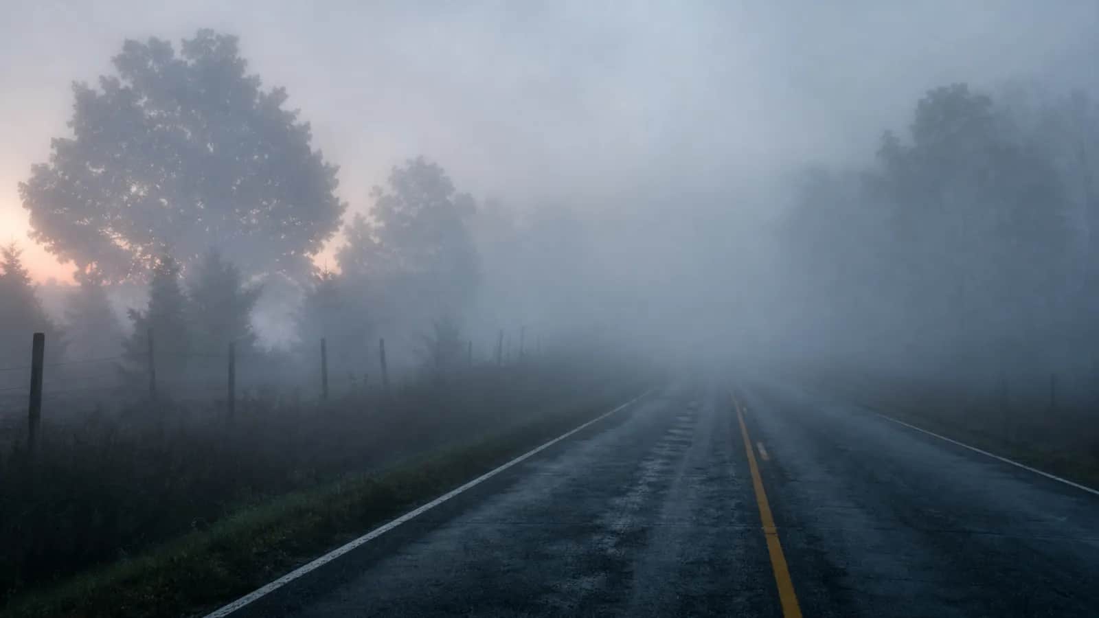
Dense fog vs freezing fog
| Advisory | Visibility | Temperature | Main danger |
|---|---|---|---|
| Dense Fog Advisory | 1/4 mile or less | Can be above or below freezing | Difficulty seeing while driving |
| Freezing Fog Advisory | About 1 mile or less | At or below freezing | Ice forming on roads, bridges, and windshields |
When does the NWS issue a dense fog advisory?
Dense fog, as the National Weather Service glossary defines it, is widespread fog that brings visibility down to 1/4 mile or less. A local forecast office decides when that condition is occurring or is expected soon and issues a Dense Fog Advisory for the affected counties. Marine areas have a separate marine dense fog advisory, with regionally defined visibility limits that do not exceed 1 nautical mile. Fog has no watch stage; the NWS does not issue a fog watch before conditions arrive. In practice, 'widespread' means the poor visibility covers enough ground to affect travel across a large part of the forecast area, not just one neighborhood or one route.
How long does a dense fog advisory last?
An advisory stays in force until visibility comes back above the dense fog threshold. Each advisory is issued with an expiration time, and the local forecast office extends or cancels it based on conditions. Clear, calm nights lead to radiation fog, which typically clears between mid and late morning as sunlight warms the ground. This fog often develops after midnight, so the advisory frequently covers the overnight hours and the morning commute. Advection fog and sea fog can hold all day when wind keeps pushing warm, moist air over colder surfaces, so forecasters can extend the advisory past its initial expiration. Low visibility triggers airport procedures that can delay flights or lead to ground stops, and some school districts delay their start.
Where is dense fog most common in the US?
NWS JetStream education pages point to four regions. In California's Central Valley, tule fog develops in winter. Along the Pacific coast, advection fog and sea fog form when marine air moves over cooler ground or water close to shore. On nights when skies are clear and winds are calm, the Appalachian region and interior valleys are prone to radiation fog. The Great Lakes and Gulf coast see dense fog in winter and spring when warm, moist air moves over colder water or cold ground. Common to all of these places is a steady supply of moisture near the surface and a surface cold enough to help it condense into fog.
Where does fog come from?
- Radiation fog forms on clear, calm nights when the ground cools quickly and moist air near the surface condenses. It usually burns off by mid-morning.
- Advection fog happens when warm, moist air moves over a colder land or water surface. It can stick around all day.
- Valley fog collects in low-lying areas when cooler air sinks and moisture gets trapped in the valley.
- Sea fog develops when warm air passes over cooler ocean water, common along coastlines.
Driving in a dense fog advisory
- Slow down and give yourself extra time to react.
- Use low beams instead of high beams, because high beams reflect off the fog and make it harder to see.
- Guide yourself with the right edge line of the road rather than the center line.
- Leave extra following distance between your car and the one ahead.
- Avoid using cruise control. If visibility gets too poor, pull fully off the road, turn off your lights, and set the parking brake so other drivers do not follow you.