Foggiest cities in the US
Updated
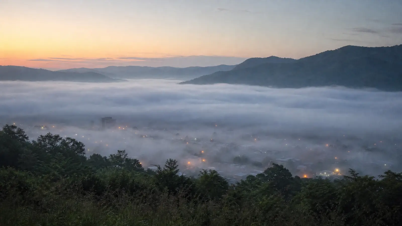
Elkins, West Virginia leads this ranking of the foggiest cities, averaging 95 heavy-fog days a year. Across the 12 foggiest stations, dense fog ranges from 37 to 95 days a year. The figures come from GHCN-Daily station records. Heavy fog means visibility of 1/4 mile or less.
Right nowKp 2.67as of See every state
Aurora forecast and conditions:swpc.noaa.gov.
Which US cities have the most dense fog?
This ranking of the foggiest cities starts with airport station records from 2015 through 2024. It counts days with any fog observed and days with heavy fog, meaning visibility of 1/4 mile or less, using GHCN-Daily weather types. The comparison covers 25 stations with reliable fog reporting, and the table below shows the top 12 by heavy-fog days.
| City | Heavy fog days a year | Fog days a year |
|---|---|---|
| Elkins, WV | 95 | 255 |
| Olympia, WA | 87 | 256 |
| Binghamton, NY | 59 | 213 |
| Quillayute, WA | 47 | 274 |
| Duluth, MN | 45 | 169 |
| Charleston, WV | 44 | 232 |
| Eureka, CA | 43 | 165 |
| Medford, OR | 40 | 128 |
| Beckley, WV | 40 | 189 |
| Astoria, OR | 38 | 259 |
| Missoula, MT | 38 | 140 |
| Caribou, ME | 37 | 171 |
The third column counts any day with fog reported, no matter how light. Drizzle and low stratus add plenty of foggy days at places like Quillayute, Washington, and Astoria, Oregon, even when the fog never reaches the 1/4-mile threshold.
What counts as a heavy fog day?
The GHCN-Daily weather-type code WT02 is the strict one. It marks heavy fog when visibility drops to 1/4 mile or less, which is the same threshold behind when the NWS issues a dense fog advisory. The station observer notes the code if dense fog is seen at any point in the day, so a brief early-morning episode counts even when the rest of the day clears. A fog layer that holds visibility at 1/2 mile is genuine fog, but it falls outside the heavy-fog bucket. One observation at the 1/4-mile mark is enough for the day to count. The number says how often the airport actually reached the advisory threshold.
Why are these places so foggy?
The top stations fall into two broad patterns. Inland valley sites, including Elkins, Beckley, and Charleston in West Virginia, Binghamton in upstate New York, and Missoula in western Montana, get radiation fog. Overnight heat loss cools the ground, and cold air settles into low valleys under clear skies. Coastal stations such as Quillayute, Astoria, and Eureka sit where moisture from the Pacific meets cool coastline and condenses into marine fog. Duluth, Minnesota, adds moisture from Lake Superior. Caribou, Maine, is far inland in Aroostook County, where clear-night cooling and river-valley air produce its fog.
Why isn't San Francisco on the list?
San Francisco is famous for fog, yet its main airport station averages only about five heavy-fog days a year. Much of the city's iconic marine layer rides well above the runway. Dense fog at the airport means surface visibility at or below 1/4 mile, not a bank of low cloud rolling over the hills. The reputation is real, but the measured surface record is a separate scoreboard.