Extreme cold warning
Updated
An Extreme Cold Warning means the National Weather Service expects or is observing dangerously cold air or wind chill. It replaced the Wind Chill Warning on October 1, 2024, and it can be issued whether the danger comes from the air temperature itself or the wind chill, with no minimum wind speed required. Local offices set the number that triggers it, so the threshold changes depending on where you live.
Right now0Extreme cold warnings in effectas of Yesterday's official highs and lows
WeatherTotals issues no alerts or warnings. Official warnings: weather.gov.
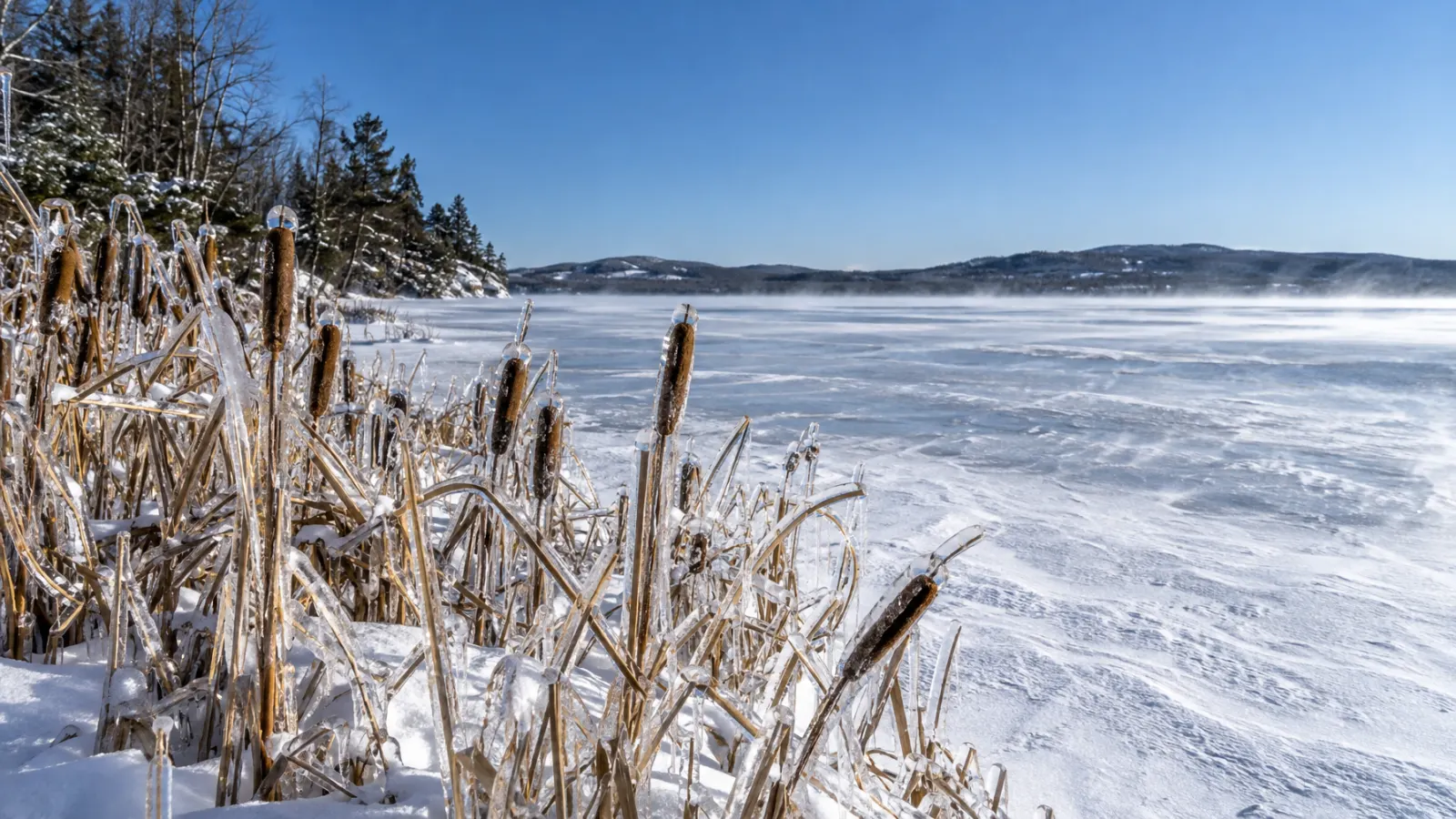
Warning, watch, and advisory for extreme cold
| Alert | Old name before October 2024 | What it means |
|---|---|---|
| Extreme Cold Warning | Wind Chill Warning | Dangerously cold air or wind chill is expected or already happening. |
| Extreme Cold Watch | Wind Chill Watch | Dangerous cold could develop, but the location, timing, or occurrence is not yet certain. |
| Cold Weather Advisory | Wind Chill Advisory | Cold conditions are dangerous but do not meet the warning threshold. |
Coldest measured air temperature records by city
The record low air temperature among tracked cities belongs to Bismarck, North Dakota, at -44F, observed on Jan 18, 1950.
| city | record low (F) | date of record low | lowest reading last winter (F) |
|---|---|---|---|
| Bismarck, ND | -44 | Jan 18, 1950 | -22 |
| Caribou, ME | -41 | Feb 1, 1955 | -19 |
| Portland, ME | -39 | Feb 16, 1943 | -7 |
| Duluth, MN | -39 | Jan 15, 1972 | -29 |
| Fargo, ND | -39 | Feb 1, 1996 | -20 |
| Sault Ste Marie, MI | -37 | Feb 8, 1934 | -19 |
| Concord, NH | -37 | Feb 16, 1943 | -11 |
| Madison, WI | -37 | Jan 30, 1951 | -19 |
| Green Bay, WI | -36 | Jan 21, 1888 | -19 |
| Sioux Falls, SD | -36 | Jan 19, 1970 | -19 |
Under 17 U.S.C. 105, no copyright attaches to the government-produced figures on this page, including reports, alerts, station observations, and normals, which were created by the National Weather Service and other NOAA offices. The notice that 17 U.S.C. 403 requires appears in this sentence. It does not imply endorsement by or affiliation with those agencies. See: Data sources and attribution.
How local offices set cold thresholds
The National Weather Service lets each local forecast office choose the temperature that triggers an advisory or warning. The Lincoln office in central Illinois and the New Orleans/Baton Rouge office pick different advisory and warning temperatures. A warning in one place may only be an advisory in another.
| Area | Cold weather advisory | Extreme cold warning |
|---|---|---|
| Central Illinois along and north of I-72 | -15F to -24F | -25F or colder |
| Mississippi coast and south of I-10 | below 25F | below 15F |
| Louisiana north of the I-10/12 corridor | below 20F | below 10F |
What wind chill measures
Calculated by the National Weather Service from heat loss on exposed skin, wind chill describes how cold the air feels to people and animals. The formula is used only when the air temperature is at or below 50F and the wind is above 3 mph. The National Weather Service wind chill chart shows that 0F air with a 15 mph wind produces a wind chill of -19F, and a person exposed to that wind chill can get frostbite in about 30 minutes.
Pipes, cars, and other objects cannot get colder than the actual air temperature because of wind chill; the wind only speeds up the cooling. Frostbite still requires the actual air temperature near exposed skin to be below freezing, regardless of the wind chill.
What to do in extreme cold
- Limit time outdoors when a warning is in effect.
- Cover all exposed skin with a hat, gloves, and face protection, and wear loose layers.
- Bring pets indoors.
- Check on older neighbors and anyone without reliable heat.
- Keep a winter kit in the car.