Lake effect snow
Updated
Lake effect snow is snow that forms when cold, dry air passes over a warm, open lake and gains enough heat and moisture to produce narrow bands of heavy snowfall. Those bands can drop 2 to 4 inches per hour on the downwind shore, according to NWS Buffalo. A Lake Effect Snow Warning means such bands are expected to cause significant accumulation.
Right now0Lake effect snow warnings in effectas of Snow totals by state, measured
WeatherTotals issues no alerts or warnings. Official warnings: weather.gov.
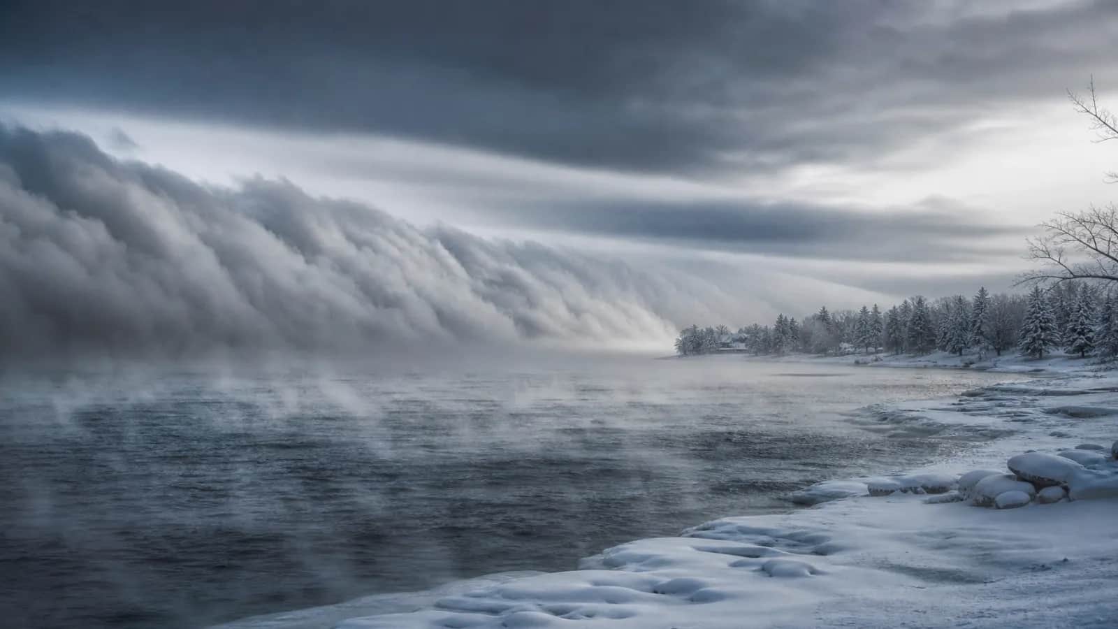
How does lake effect snow work?
The National Weather Service lists four ingredients that must be in place for lake effect snow to develop:
- The air roughly 5,000 feet up must be about 13 degrees Celsius (23 degrees Fahrenheit) colder than the lake surface.
- A long fetch of open water, meaning wind travels along the lake's longest axis.
- A steady wind direction that does not change for hours.
- An unfrozen lake, so the water can transfer heat and moisture to the air.
Where does lake effect snow fall?
| Lake | Downwind areas | Peak months | Note |
|---|---|---|---|
| Lake Ontario | Tug Hill Plateau | November-January | Rarely freezes, so the season can continue. |
| Lake Erie | Buffalo south towns, northeast Ohio, northwest Pennsylvania | November-January | Often freezes by mid winter, shutting off the snow. |
| Lake Michigan | Western Michigan | November-January | The lake effect season runs while the lake stays open. |
| Lake Superior | Upper Peninsula | November-January | The lake effect season runs while the lake stays open. |
| Great Salt Lake | Utah | November-January | Smaller scale than the Great Lakes. |
Lake effect snow warning, watch and advisory
A Lake Effect Snow Warning is issued when lake-driven snow squalls or heavy showers could cause significant accumulation, with criteria set by each National Weather Service office. A separate Snow Squall Warning covers the brief whiteout bursts that can occur inside a band.
Since October 1, 2017, the former Lake Effect Snow Advisory and Lake Effect Snow Watch have been folded into the Winter Weather Advisory and Winter Storm Watch. Eastern Region offices in New York, Pennsylvania, and Ohio still issue a Lake Effect Snow Warning, while Central Region offices in Michigan, Indiana, Illinois, Wisconsin, and Minnesota use the Winter Storm Warning instead.
Why do totals vary so much?
Lake effect snow falls in narrow bands, typically 5 to 20 miles wide. That means one town can see 3 feet of snow while a town 20 miles away gets only flurries. In November 2022, parts of the Buffalo south towns received over 6 feet of snow in three days, according to NWS Buffalo. The Tug Hill Plateau, downwind of Lake Ontario, averages over 200 inches of snow each season.